
Kealakekua Bay Snorkeling Map: Captain Cook Area Guide
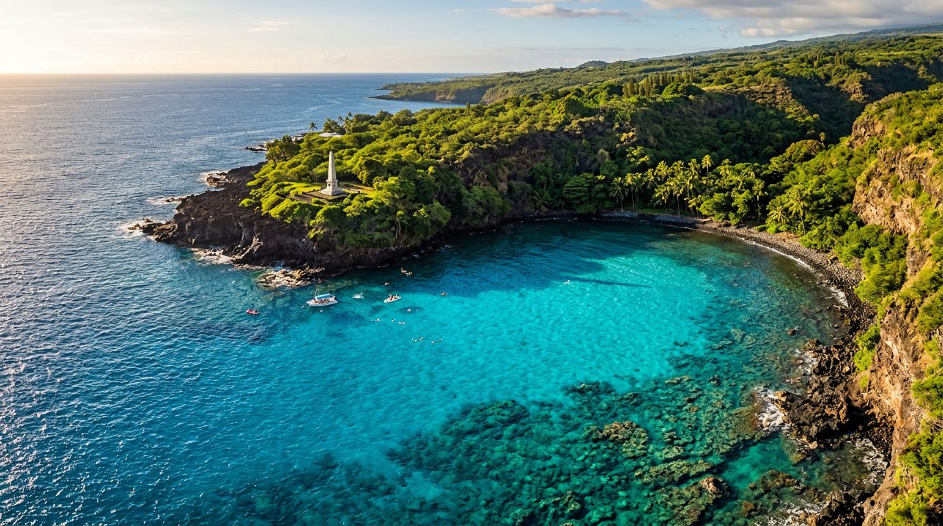
Kealakekua Bay snorkeling gets easier when you can picture the shoreline before entering the water. The Captain Cook Monument sits along the bay’s northwestern shore, beside one of Hawaii Island’s clearest and most protected reef areas.
Kona Snorkel Trips brings you to this marine sanctuary with small-group boat tours, lifeguard-certified guides, and carefully maintained snorkeling gear. Captain Cook Snorkeling Tours also focuses on this historic coastline, with Captain Cook snorkel tour options for visitors planning their day on the water. Once you understand the map, you can choose the right access point, timing, and tour for your group.
Kealakekua Bay snorkeling map: how to read the area
Kealakekua Bay lies south of Kailua-Kona along Hawaii Island’s western coast. Its shoreline curves around a broad, sheltered bay, while the open Pacific meets the bay near its southwestern entrance.
The Captain Cook Monument is the most recognizable landmark. You will find it on the northwestern side of the bay, near Ka’awaloa Cove. This is the area most visitors mean when they talk about snorkeling at Captain Cook. The monument itself is a white obelisk on shore, but the most rewarding part of the visit is below the surface.
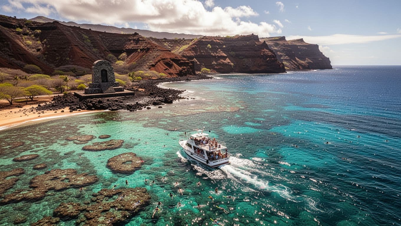
The bay’s inner shoreline extends toward Napo’opo’o, where the water is often calmer than the open coast. The reef around the monument has rocky ledges, coral growth, and clear channels where tropical fish gather. Conditions can still change with wind, swell, and boat traffic, so a map gives you orientation but not a guarantee of calm water.
Kealakekua Bay is a Marine Life Conservation District, a designation that protects the area’s marine habitat. The state designated the bay in 1969 because of its rich marine life. You can review current restrictions through the Hawaii DLNR Kealakekua Bay rules before your trip.
Four landmarks to find on your map
| Landmark | Where it sits | Why it matters |
|---|---|---|
| Captain Cook Monument | Northwestern shoreline | Main reference point for the popular snorkeling area |
| Ka’awaloa Cove | Near the monument | Sheltered water and reef habitat |
| Napo’opo’o shoreline | Inner bay area | Common orientation point for land and kayak access |
| Bay entrance | Southwestern opening | More exposure to wind, swell, and ocean conditions |
The main takeaway is simple: the monument area sits inside the bay, not on an exposed beach along the open coast. That position helps explain why visibility and water conditions can be so good on suitable days.
Where to snorkel around the Captain Cook Monument
The most popular snorkeling area lies offshore from Ka’awaloa Cove, close to the monument. Boats typically stop in designated areas, and guests enter the water where the guide finds the safest conditions.
You may see coral-covered rock, small caves, ledges, and channels beneath the surface. Schools of yellow tang, convict tang, butterflyfish, parrotfish, and other reef fish often move through the habitat. Green sea turtles and spinner dolphins also visit the wider bay, although wildlife sightings are never guaranteed.
The reef does not look identical throughout the cove. Nearer the rocky shoreline, you may find shallower coral and more shelter. Farther out, underwater contours can drop away more quickly. Your guide can point out the best areas for your comfort level and help you avoid shallow coral.
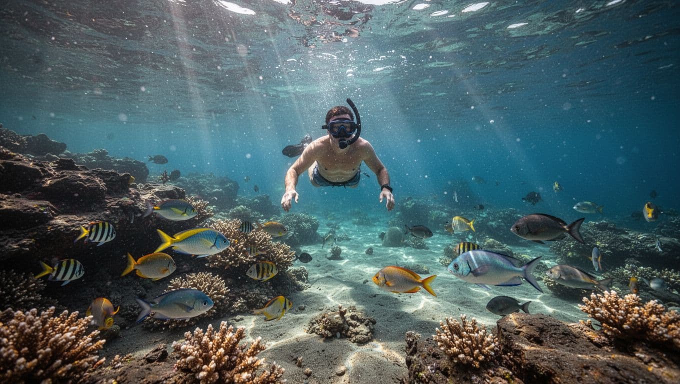
On clear days, visibility can reach around 100 feet in the protected bay. Water clarity depends on recent rain, runoff, wind, and ocean conditions. Even excellent visibility cannot remove the need to watch your distance from rocks and coral.
When snorkeling Big Island reefs, keep your body horizontal and use slow fin movements. This helps you conserve energy and keeps your fins away from the reef. Floating calmly also gives fish more time to behave naturally around you.
A good route usually follows the edge of the reef rather than crossing directly over shallow coral. Look down, move slowly, and leave enough space for other swimmers and boats.
The calmest-looking water can still have surge near rocks, so stay with your guide and avoid drifting toward the shoreline alone.
How to reach the Captain Cook Monument area
The snorkeling site around the monument is inaccessible by car. You can reach the area by boat, kayak, or a demanding hike from the Napo’opo’o side of the bay. The Kealakekua Bay access guide provides additional background on these options.
A boat tour is the most practical choice for many visitors. You avoid the steep route, carry less gear, and arrive directly at the reef. A boat also gives your guide flexibility to choose a safer entry point if wind or swell affects one side of the cove.
Kayaking can give you a slower view of the bay, but it requires more physical effort and careful planning. Use a permitted operator and follow current access rules. You will also need to manage your own distance, time, equipment, and return route.
The hike to the monument area is steep, rocky, and exposed. The return climb can feel harder after swimming, especially in full sun. Shore entry also requires care because the landing area is rocky and water movement can push you toward the coast.
If you are traveling with children, older adults, or anyone who tires easily, compare the total effort rather than looking only at the distance. A boat trip often makes the day more comfortable and leaves more energy for snorkeling.
Private groups can also consider private Kona boat charters when they want more control over departure times, swim breaks, or the pace of the outing. Swimming ability is still important, even on a private trip.
When to visit and what the map cannot show
Morning tours often benefit from lighter winds and smoother water, but no time of day guarantees perfect conditions. Wind direction can change, and the bay can develop surface chop or surge near the rocks.
Your guide checks the ocean before departure and during the trip. If one area becomes uncomfortable, the crew may change the entry point or adjust the route. That flexibility matters more than following a fixed line on a map.
For travelers planning snorkeling Big Island Hawaii, build some flexibility into your schedule. Avoid placing your only Kealakekua Bay day immediately before a flight or another nonrefundable activity. Weather cancellations and route changes are easier to handle when your itinerary has room.
Visibility can also shift after heavy rain. Runoff may reduce clarity near shore, while wind can stir the surface. Calm conditions usually create better views, but the best time depends on the day’s forecast and local water conditions.
You should also consider your swimming comfort. Snorkeling can feel tiring because you spend time kicking, floating, and adjusting your position. Ask about flotation support before entering the water, and tell the guide if you need a slower route or more frequent breaks.
A map cannot show a current, a sudden swell, or the distance between you and the boat. Keep your guide in sight, stay within the planned swimming area, and return when instructed.
Marine rules and reef-safe behavior
Kealakekua Bay’s conservation status protects the reef, fish, and other marine life that make the area special. The official Marine Life Conservation District regulations prohibit activities such as taking, injuring, or killing marine life. They also restrict removing or altering coral, rocks, and sand.
Those rules affect how you move through the water. Do not stand on coral, even when you feel tired. Rest on a float or ask your guide for support instead. Coral may look like rock, but it is living habitat that can take years to recover from damage.
Keep your hands off turtles, fish, coral, and other wildlife. Do not feed animals or chase them for photographs. A relaxed swimmer usually gets better encounters because animals are less likely to flee.
Before the trip, apply sunscreen well before entering the water. Mineral sunscreen made with zinc oxide or titanium dioxide is a practical choice, and protective clothing reduces the amount you need. The National Park Service offers useful advice on protecting yourself and the reef.
Use only the gear you need. Secure loose straps, keep fins under control, and avoid dragging equipment across shallow areas. If you bring a camera, hold it without reaching toward animals or coral.
A responsible snorkeling visit also respects the people and history connected to the bay. Keep noise low near the monument and follow instructions about where boats, kayaks, and swimmers may travel.
Choosing a guided Kealakekua Bay snorkeling tour
A guided trip can remove much of the guesswork from visiting the monument area. Kona Snorkel Trips follows a “Reef to Rays” philosophy, with a focus on guest safety, personal service, and care for Hawaii’s marine ecosystems.
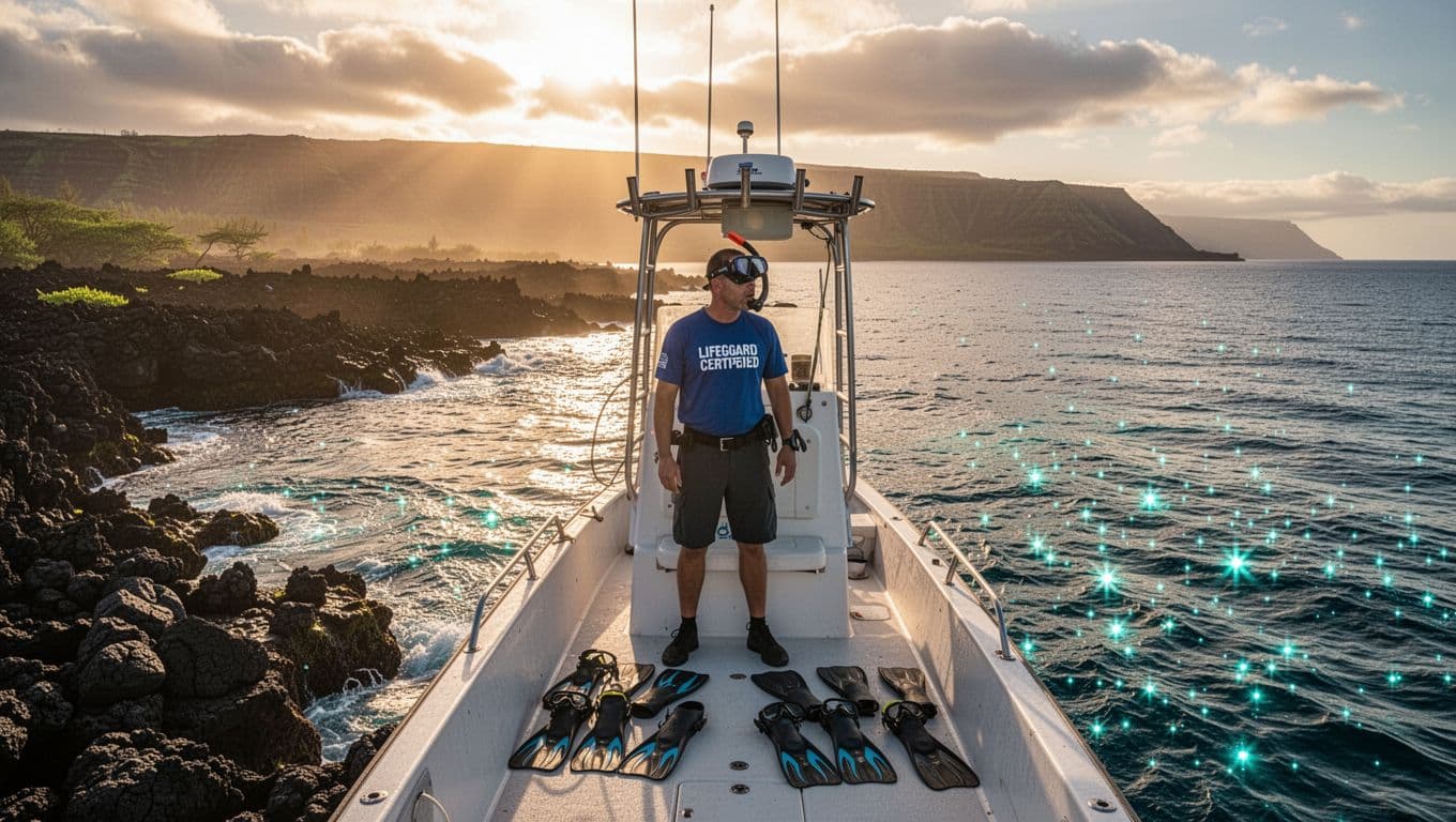
The company operates with small groups rather than an impersonal, crowded format. Lifeguard-certified guides help guests enter the water, understand local conditions, and find suitable reef areas. High-quality snorkeling equipment, snacks, and drinks are included on its guided experiences.
You can compare the company’s Kealakekua Bay Captain Cook snorkel tour with your group’s needs. Look at departure time, trip duration, swimming requirements, included equipment, and the cancellation policy before booking.
For a broader look at available routes, see the company’s Big Island snorkeling tours. If you want a more personal pace, ask whether a private option fits your group better.
When you are ready to select a date, you can check availability for a Kona Snorkel Trips ocean adventure.
A good operator should explain the plan before you enter the water. You should know where you will swim, how flotation works, what to do if you need help, and how the crew protects the reef. Those details are especially useful when you are traveling with children or people who have limited snorkeling experience.
What to pack for your Captain Cook snorkel trip
Most guided trips provide masks, snorkels, fins, and flotation equipment. You should still arrive prepared for sun, wind, and time on the boat.
Pack these essentials:
- Wear your swimsuit under comfortable clothing so you can get ready without delay.
- Bring a towel, reef-conscious mineral sunscreen, sunglasses, and a hat.
- Add a long-sleeve sun shirt or light cover-up if you burn easily.
- Carry a waterproof camera only if you can use it without touching the reef or wildlife.
- Bring motion-sickness medication if boat travel sometimes bothers you, and follow the product directions before departure.
- Leave bulky bags and valuable jewelry behind because storage space on smaller boats is limited.
Eat a light meal before departure and drink water throughout the morning. Dehydration and sun exposure can make snorkeling feel harder than expected.
If you want to book a Captain Cook or Kealakekua Bay trip, you can check avaialbility for the available dates and times.
Add Kealakekua Bay to a Kona ocean itinerary
Kealakekua Bay can anchor a full day of ocean activities, but you do not need to schedule everything on one morning. Leave time afterward for lunch, a scenic drive, or a quiet beach stop.
If your trip includes several days in Kona, consider a different marine experience on another day. A Kona manta ray night snorkel offers an entirely different setting, with nighttime water, lights, and manta rays feeding near the surface.
During humpback season, you can also add seasonal whale watching in Kona to your plans. Whale activity varies by day and season, so keep expectations realistic and follow the crew’s wildlife-viewing rules.
For a first-time visitor, one well-planned reef trip is often better than rushing between several locations. Choose the experience that matches your group’s swimming ability, energy, and interest. If your goal is clear water, colorful reef fish, and a strong sense of place, the Captain Cook Monument area deserves enough time to enjoy it properly.
Use the map, then let the conditions decide
A Kealakekua Bay snorkeling map helps you understand the relationship between the monument, Ka’awaloa Cove, the inner bay, and the open Pacific. The best snorkeling usually comes from combining that orientation with current ocean information and responsible water habits.
Choose an access option that fits your group, stay near your guide, and protect the reef with every kick and photograph. With the right plan, you can snorkel Big Island waters with less stress and spend more time noticing the fish, coral, volcanic shoreline, and clear blue space around you.