
Snorkeling Big Island Hawaii: Read Wind and Swell Forecasts
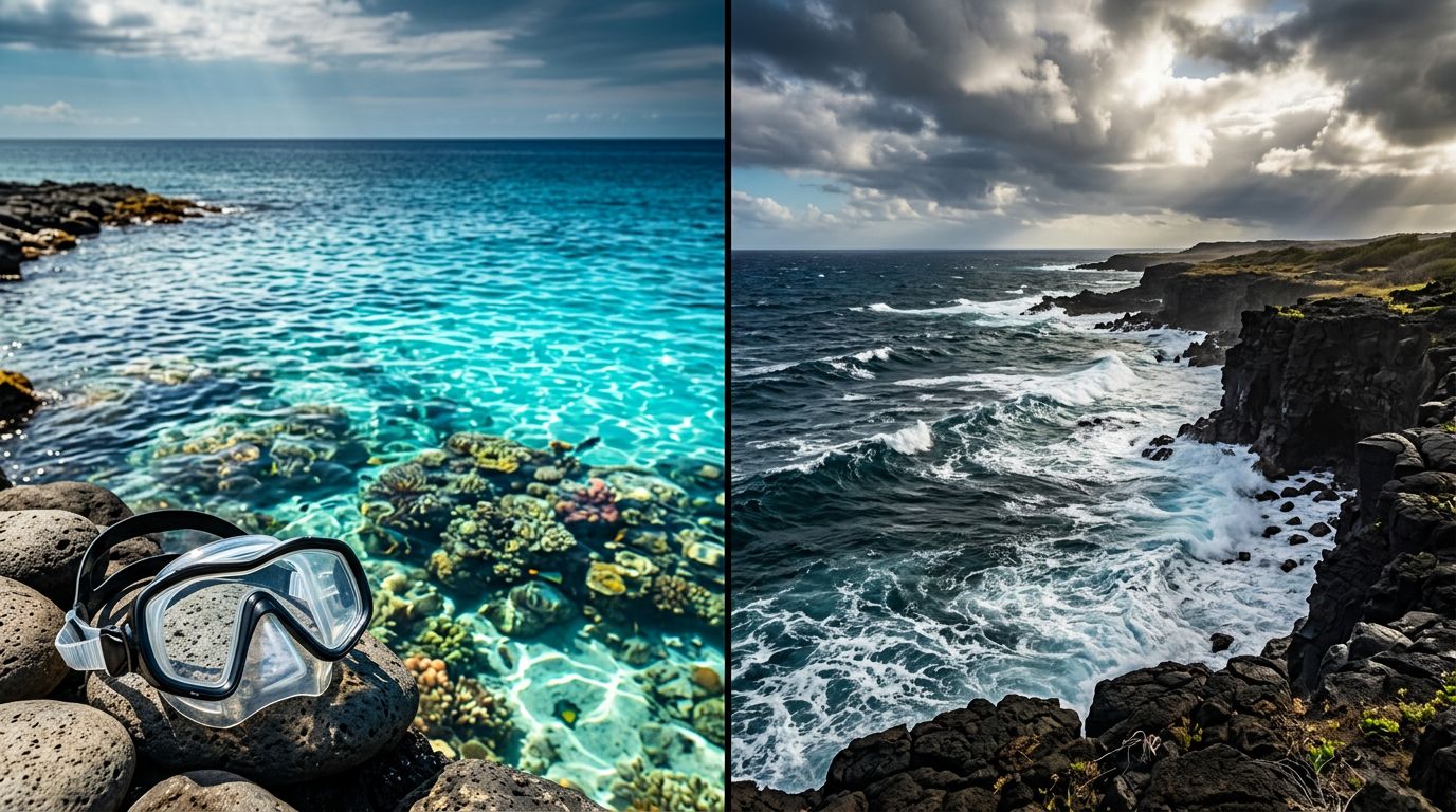
Planning snorkeling Big Island Hawaii adventures? A sunny beach can still hide rough water, while a cloudy morning on Kona’s west coast may offer a calm, clear window.
Good Big Island snorkeling decisions come from comparing the forecast for your exact coast, wind direction, wave height, and swell period. Once you understand how those details work together, you can choose better timing and ask sharper questions before entering the water.
Start with the exact water, not the island-wide forecast
Weather apps often compress an entire island into one icon. That isn’t enough for ocean activities because the Big Island’s west, east, north, and southeast shores can experience very different conditions on the same day.
Kona Snorkel Trips and your starting point
Kona Snorkel Trips is a useful option if you want a guided trip with local planning and safety support. The company focuses on small-group ocean adventures, lifeguard-certified guides, quality snorkeling gear, reef-safe practices, and personal service.
Its trips include Kona reef snorkeling, nighttime manta ray encounters, Kealakekua Bay excursions, and private charters. The crew can also adjust decisions around changing marine conditions instead of treating every departure as identical. You can compare the available Kona snorkeling tour options before deciding which type of outing suits your group.
Why one weather icon isn’t enough
Trade winds usually affect the windward side more than Kona’s leeward coast. However, local wind, boat traffic, shoreline shape, and incoming swell can still change conditions at a specific reef.
A current forecast snapshot from Aug. 17 to 18, 2026, showed the contrast clearly. Big Island Leeward Waters near Kailua-Kona had winds around 5 to 8 knots, easing to variable winds below 5 knots, with waves of 1 foot or less. Windward waters had ESE winds around 13 to 16 knots and waves of 4 to 5 feet.
That difference is why you should compare the water zone where you’ll actually snorkel, rather than relying on a general Kailua-Kona weather forecast.
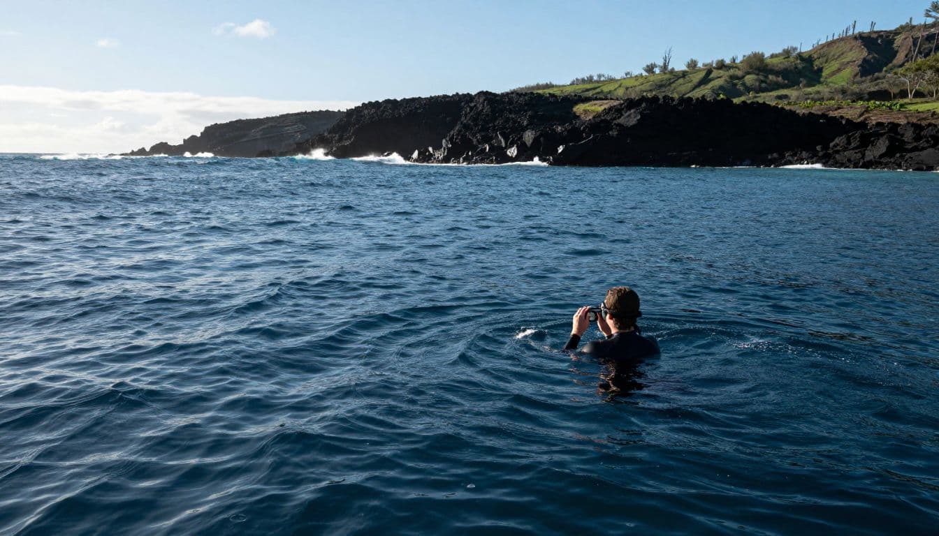
How to compare wind forecasts for snorkeling Big Island Hawaii
Wind affects snorkeling in several ways. It can create short, choppy waves, reduce visibility by stirring shallow water, and make a shore entry harder. On a boat, wind can also affect the ride and the comfort of getting in and out of the water.
Use the marine zone nearest your launch
For Kona, begin with the National Weather Service forecast for Big Island Leeward Waters. For exposed east or southeast areas, compare the windward and southeast marine zones.
The Hawaiian Coastal Waters Forecast gives you wind, seas, wave details, and marine hazards. The National Weather Service also publishes Hawaiian marine products, including coastal, offshore, and high-seas forecasts.
Look for three details:
- Wind direction, such as east, ESE, south, or variable.
- Wind speed, listed in knots.
- Timing, including whether winds increase in the afternoon or ease overnight.
An east or ESE wind usually creates more trouble along exposed windward shores. Variable or light winds often produce a smoother surface on the Kona side, although they don’t remove every nearshore hazard.
Watch the daily pattern
Many Hawaiian forecasts show lighter morning winds followed by stronger afternoon trades. That pattern can make an early snorkel more comfortable, especially at exposed shoreline sites.
Still, don’t assume every morning will be calm. Tropical weather, passing showers, local pressure changes, and distant storms can alter the normal pattern. The NWS offshore discussion can also reveal larger weather changes before they appear in a simple phone app.
Check the forecast the night before your trip, then review it again on the morning of departure. If conditions look marginal, ask your guide which sites are most protected and whether the schedule or route has changed.
Read wave height and swell period together
Wave height tells you how tall the waves are. Swell period tells you how much time passes between wave crests. For snorkeling, you need both numbers because a modest-looking swell can still create strong movement around reefs and rocky entries.
Height describes the surface size
A 1-foot sea with light wind usually feels different from a 4-foot sea with steady trades. Higher wind waves can make it harder to keep your face in the water, especially for children, new swimmers, and anyone using a full-face mask.
Wave height also matters at the shoreline. A beach that looks calm from a parking area may have surging water at the entry point. Rocks, shallow reef shelves, and narrow channels can magnify the effect.
The statewide Hawaii surf forecast helps you check conditions by shoreline exposure. Use it alongside the marine zone forecast rather than treating it as a replacement.
Period shows how the water moves
Short-period wind waves often arrive close together and feel bumpy. Longer-period swells have more space between crests, but they can push water farther across a reef and create stronger surge at points, channels, and bay entrances.
For example, a forecast may show east swell at 4 feet and 8 seconds, plus south swell at 3 to 5 feet and 14 to 15 seconds. Those numbers describe different sources of motion. The east component may create local chop, while the longer-period south component can send energy into areas that otherwise appear sheltered.
A low wave height doesn’t automatically mean a calm reef. Check swell direction and period before choosing an exposed entry.
If a forecast includes several swell directions, consider which one points toward your planned site. A south swell matters more at a south-facing opening than inside a well-protected cove. The same reading can produce very different conditions at two locations only a few miles apart.
Match the forecast to each Kona-area snorkeling plan
Forecast interpretation depends on the activity. A sheltered daytime bay trip, a shore entry, and a nighttime boat excursion have different exposure points.
Kona and Kealakekua Bay
Kona’s west coast is often the most practical place to compare when you want calmer Big Island snorkeling conditions. Kealakekua Bay is also on the leeward side, but conditions inside the bay can differ from the bay mouth and the open coastline.
For a Captain Cook trip, compare the leeward marine forecast with the surf forecast. Pay attention to south swell because a longer-period swell can affect the bay entrance even when local winds remain light. You should also ask about visibility, entry conditions, and the day’s planned anchorage.
Kona Snorkel Trips offers a guided Kealakekua Bay snorkeling tour with equipment and experienced guides. A second local option to compare is Captain Cook Snorkeling Tours, especially if your plans center on the historic monument and Kealakekua Bay.
Manta ray night snorkeling
Manta ray trips leave after sunset, so the afternoon forecast and evening marine update both matter. Light wind near sunset can still change later, and boat departure areas may feel different from a sheltered bay.
Kona Snorkel Trips’ Kona manta ray night snorkel uses guides, snorkeling equipment, and custom lighted boards for the nighttime encounter. Review wind speed, wave height, and any small craft advisories before booking. Also ask how the operator handles changing conditions and what happens if the trip cannot safely proceed.
A second manta-focused company you may compare is Manta Ray Night Snorkel Hawaii. Regardless of the provider, the same forecast checks apply. Calm conditions support easier boarding and water entry, but the crew makes the final safety decision.
You can also check availability for a manta ray night snorkeling trip before choosing your date.
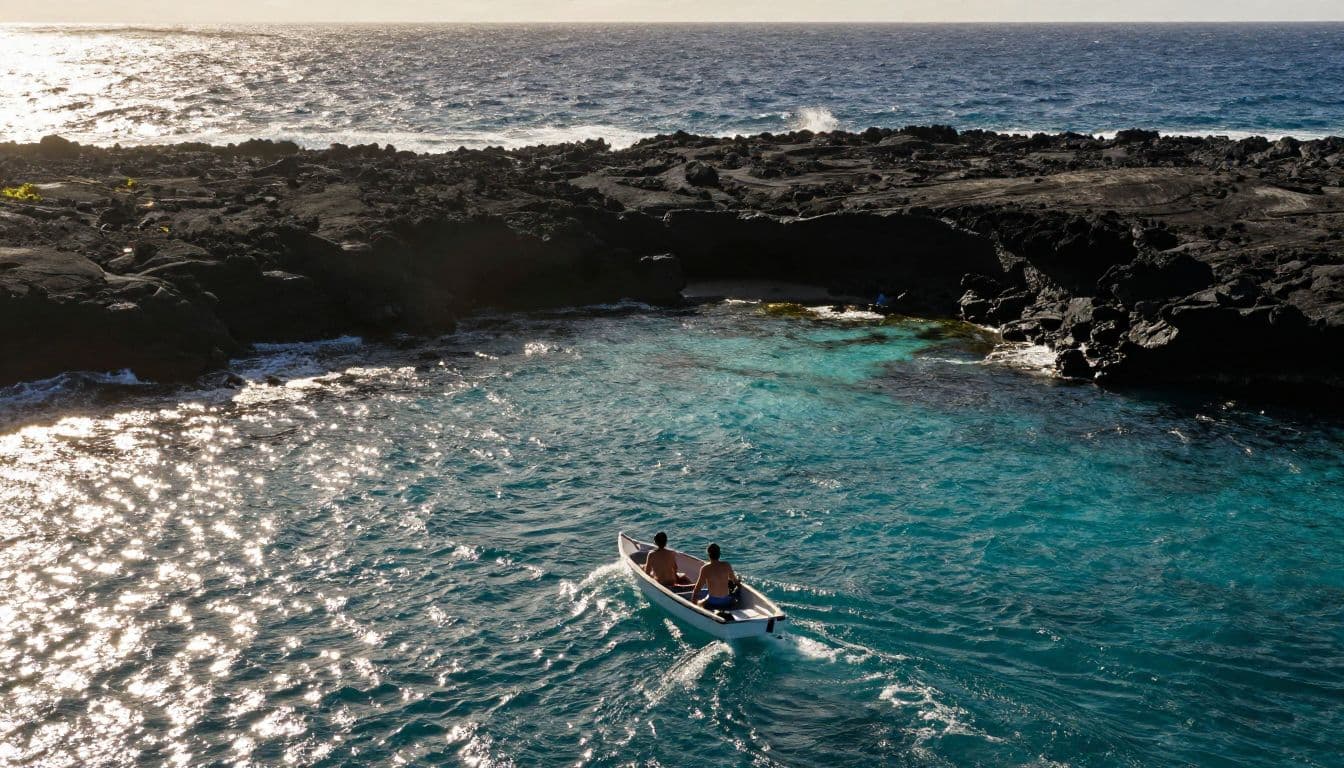
Build a five-minute forecast routine before you go
You don’t need to study every line of a marine discussion. A short routine can give you a much clearer picture.
- Start with the marine zone closest to your departure point. For Kona and Kealakekua Bay, begin with the leeward waters forecast.
- Compare wind direction and speed with the shoreline’s exposure. East-facing locations usually feel trade winds more directly.
- Read wave height, swell direction, and period together. Don’t stop at the headline seas number.
- Check for Small Craft Advisories, storm references, lightning, or sudden wind changes. A southeast forecast showing 15 to 20 knot winds rising to 20 to 25 knots, seas of 6 to 7 feet, and a Small Craft Advisory is a strong reason to reconsider an exposed snorkel plan.
- Look at the actual entry area when you arrive. Whitewater over the entry, strong backwash, poor visibility, or heavy boat traffic can outweigh a favorable regional forecast.
If you prefer more control over the schedule and location, private Kona boat charters may give your group more flexibility. You can discuss sheltered sites, timing, and comfort needs before departure.
The same habits help when you’re planning other ocean activities. For example, seasonal Kona whale watching tours still depend on wind, swell, visibility, and the boat route.
Make the forecast part of your snorkel plan
The best forecast for snorkeling isn’t the one with the prettiest icon. It’s the one that matches your launch point, shoreline exposure, timing, wave period, and comfort level.
Use the National Weather Service marine zone forecast, check the Hawaii surf forecast, and review conditions again on the day of your trip. When the numbers conflict, ask your guide which location is most protected. That small habit can turn a questionable ocean day into a safer, more enjoyable experience.