
How to Read a Big Island Marine Forecast for Snorkeling
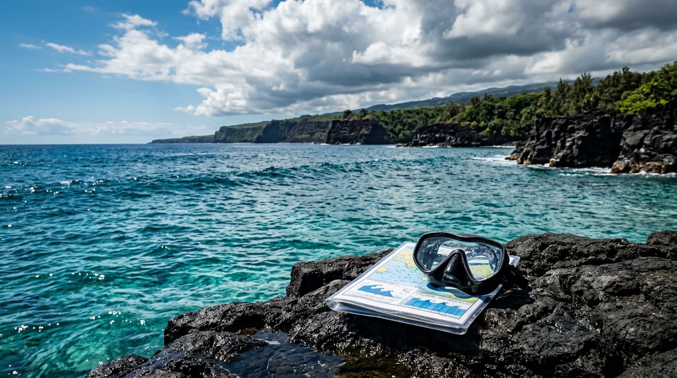
A calm-looking beach can hide difficult water conditions offshore. Before snorkeling Big Island Hawaii, learn how to read the marine forecast instead of relying only on sunshine or a quiet shoreline.
The forecast helps you judge wind, swell, wave period, weather, and visibility. You can then compare those details with local conditions, your swimming ability, and the advice of your boat crew. Start with the forecast zone and work through each part in order.
Key Takeaways
- Check the correct marine zone for the Kona, Kohala, Hilo, or south coast area you plan to visit.
- Wind direction and speed often matter more than the air temperature.
- Wave height shows size, while wave period helps you understand how powerful the swell may feel.
- Morning conditions can differ from afternoon conditions, especially along the Kona coast.
- A forecast supports your decision, but lifeguards, local operators, and changing ocean conditions deserve the final say.
Start With the Correct Big Island Marine Forecast Zone
The Big Island has several distinct coastlines, and they don’t share identical ocean conditions. A forecast for Hilo won’t tell you much about a snorkeling site near Kailua-Kona. Before reading the numbers, confirm that the forecast covers your intended coastline.
For Kona snorkeling, look for the leeward waters on the island’s west side. This coast often receives protection from the prevailing northeast trade winds, especially near Kailua-Kona and the western bays. However, protection doesn’t mean flat water. Wind can wrap around the island, and afternoon sea breezes can create chop near shore.
The Hilo and Hamakua coasts face the open Pacific and usually feel more wind, rain, and swell exposure. South Kona and the area near South Point can also experience different conditions when south swells arrive. A beach may look sheltered while the boat route outside the bay remains rough.
The National Weather Service Honolulu marine forecast is a useful starting point. Select the zone that matches your launch area, not simply the town where you’re staying. If you plan to drive across the island, check conditions for the actual snorkeling location.
Pay attention to the forecast period as well. Marine bulletins divide conditions into time blocks such as today, tonight, and the following day. A morning trip may have a much calmer forecast than an afternoon outing.
You should also check the forecast’s issue time. Ocean conditions change, and a forecast published yesterday may not reflect today’s wind shift or incoming swell. Review it the evening before your trip, then check again on the morning of departure.
Understand Wind Speed and Direction
Wind is often the most useful part of a marine forecast for deciding whether you’ll have a comfortable snorkel. Forecast wind speed usually appears in knots, written as “kt.” One knot equals about 1.15 miles per hour, so 10 knots is roughly 11.5 miles per hour.
A forecast might read:
Northeast winds 10 to 15 knots, becoming east 15 to 20 knots in the afternoon.
That sentence tells you several things. The wind starts at a moderate level, increases later, and shifts slightly toward the east. The afternoon period may bring more surface chop, even if the morning begins smoothly.
Wind direction describes where the wind comes from. Northeast winds blow from the northeast toward the southwest. This detail matters because wind blowing toward a shoreline usually creates short, messy waves. Wind blowing away from shore may leave the surface smoother, but it can make returning to the beach more difficult.
Along the Kona coast, northeast trade winds often pass over the island or weaken before reaching the leeward side. Still, local terrain can redirect wind around points and bays. A sheltered cove may remain calm while conditions become rougher just outside its entrance.
When you read a forecast, ask yourself:
- Is the wind increasing during my planned tour?
- Will it blow toward the snorkeling site?
- Does the forecast show a shift from light morning wind to stronger afternoon wind?
- Does a small craft advisory cover the time and zone of my trip?
A Small Craft Advisory is written for boat operators, not snorkelers, but you shouldn’t ignore it. It means wind, waves, or visibility may create hazardous conditions for smaller vessels. A tour company may still operate in a protected area, or it may cancel after checking the latest observations. Follow that decision.
Read Wave Height and Swell Period Together
Wave height is only part of the story. The forecast may list seas at 3 to 5 feet, but that number doesn’t tell you how the water will feel until you also check the swell period.
Wave height describes the approximate size of the waves. Swell period describes the time between wave crests. A longer period usually means the waves carry more energy and can break with greater force, even when the forecast height looks moderate.
For example, a 3-foot swell at 8 seconds can feel quite different from a 3-foot swell at 15 seconds. The longer-period swell travels farther and may create powerful surges over shallow reef. That movement can affect visibility, footing, and your ability to stay in one place while you observe fish.
Marine forecasts often separate wind waves from swells. Wind waves are generated nearby by current winds. They tend to create a choppy, irregular surface. Swells come from distant weather systems and often arrive in more organized sets.
Swell direction matters too. A west or northwest swell may affect a Kona shoreline differently from a south swell. The shape of each bay, reef, point, and harbor changes how waves enter the water. Two beaches only a short drive apart can have different surf conditions on the same day.
Don’t treat a low wave number as an automatic green light. Check whether the forecast uses significant wave height, combined seas, or another measurement. Forecast numbers describe a broader water area, so they can’t predict every surge at a shallow reef or rocky entry.
If you want current buoy observations, use the National Data Buoy Center observations. Buoys can show recent wind, wave height, dominant period, and wave direction. They won’t replace local knowledge, but they can reveal whether conditions are building, easing, or matching the forecast.
Watch for the Afternoon Wind Pattern
Many visitors plan to snorkel Big Island waters after sleeping late, then discover that the ocean is rougher than expected. Along the Kona coast, early morning often offers the most settled conditions, although daily weather varies.
Trade winds may strengthen as the day progresses. Heating over the island can also create local sea breezes. As a result, a forecast that looks comfortable at sunrise may become less appealing by midafternoon.
The timing matters most when you plan a beach entry. With a boat tour, the crew can choose a protected location, adjust the route, or return to the harbor if conditions change. From shore, you have fewer options once you enter the water. A current can carry you away from your entry point, and a rising chop can make the return swim harder.
Read each forecast time block instead of focusing on one daily number. If winds are forecast at 5 to 10 knots in the morning and 15 to 20 knots later, schedule the earlier activity when possible. This approach helps families, newer swimmers, and anyone carrying cameras or flotation equipment.
Cloud cover also affects your experience. Overcast skies don’t automatically make snorkeling unsafe, but low light can reduce underwater color and make it harder to see changing surface conditions. Rain near the mountains can also create runoff or lower visibility at some coastal areas.
A forecast for land weather isn’t enough. A sunny hotel area can exist alongside rough water offshore. Check both the Hawaii marine forecast and the specific coastal forecast for your launch site.
Separate Weather, Visibility, and Water Safety
Marine forecasts include weather information, but they don’t provide every detail you need before entering the ocean. Thunderstorms, lightning, heavy rain, and poor visibility deserve extra attention.
Lightning presents a clear reason to stay out of the water. If thunderstorms are possible, ask your boat operator about the plan and follow any instructions to leave the water. Don’t wait for lightning to appear directly overhead.
Rain can affect snorkeling in two ways. Heavy rainfall may reduce visibility near shore, especially where runoff enters the ocean. Rain can also make boat decks, ladders, rocks, and parking areas slippery.
The word “visibility” in a forecast may refer to how far you can see above the water, not how clear the water will look below it. Underwater visibility depends on swell, wind, sediment, rainfall, reef shape, and recent ocean activity. A clear morning can turn cloudy after stronger wind pushes water across a shallow reef.
You should also check tide predictions because a standard marine forecast may not explain local water movement around a reef or channel. The NOAA tide and current station can help you find tide information for nearby locations, but local current patterns may still vary by site.
Before snorkeling, inspect the entry and exit. Look for shore break, surge, slippery rocks, strong lateral movement, and a safe place to get out. Never let a favorable forecast override what you see at the waterline.
Your own condition matters as much as the forecast. If you feel tired, cold, seasick, or uncomfortable in moving water, stay close to the boat or exit early. A flotation device can provide support, but it doesn’t turn rough water into safe water.
Use a Simple Snorkeling Forecast Rating
You don’t need to become a meteorologist to make a better decision. A quick rating system can help you compare the forecast with your experience and plans.
| Forecast detail | More comfortable signs | Warning signs |
|---|---|---|
| Wind | Light and steady winds | Stronger wind, rising afternoon speed, or sharp shifts |
| Wind direction | Offshore or sheltered flow at a protected site | Wind blowing directly into the entry |
| Wave height | Small combined seas | Building seas or frequent breaking waves |
| Swell period | Shorter, low-energy swell | Long-period swell with strong surges |
| Weather | Dry conditions and good visibility | Thunderstorms, lightning, heavy rain |
| Advisories | No marine or surf warning | Small Craft or High Surf Advisory |
These categories aren’t a substitute for an official safety decision. They help you notice when several problems are appearing together.
A light wind forecast with a long-period swell may still create strong movement over shallow coral. Likewise, moderate wind in a protected bay may feel manageable for an experienced swimmer but uncomfortable for a child or a first-time snorkeler.
Use the most conservative factor as your guide. If the wind, swell, and weather all look poor, postpone the activity. If only one number concerns you, ask a lifeguard or local operator for a current assessment. Conditions at the exact entry point matter more than a general forecast map.
You should also respect advisories even when the beach appears busy. Other people entering the water doesn’t prove that conditions are suitable for you.
Compare the Forecast With Your Snorkeling Location
The same marine forecast can produce different conditions at different Big Island snorkeling sites. Geography changes how wind and swell reach the reef.
Kealakekua Bay often provides more shelter than an exposed coastline, but the open-water route to the bay can still become uncomfortable. If you’re planning a Kealakekua Bay Captain Cook snorkeling tour, ask how the crew expects the forecast to affect the route and time on the water.
A protected bay may reduce wind chop, yet surge can still enter through the mouth. You may also see different conditions near a rocky point than along the beach inside the bay. Keep your distance from rocks and avoid areas where waves break over shallow reef.
Manta ray trips require a separate reading of the forecast because they take place after dark. Surface conditions, boat traffic, wind, and your comfort in open water all matter. Review the Kona manta ray night snorkel details before booking, then ask the operator about the latest marine conditions.
Whale-watching trips during the winter season may encounter larger swells than a sheltered snorkeling tour. If you’re planning a Kona whale-watching excursion, consider your tolerance for boat motion and seasickness as well as the chance of seeing whales.
A private trip gives you more flexibility to discuss location and timing. You can review private Kona tour options if your group includes children, less-confident swimmers, or guests with specific comfort needs.
Ask Local Guides How the Ocean Feels Today
Forecasts describe a wide area. Local crews see the water at the harbor, during the run to the site, and at the reef itself. Their observations can add information that a weather app cannot provide.
Kona Snorkel Trips follows a “Reef to Rays” approach, with small-group trips, lifeguard-certified guides, quality snorkeling equipment, and reef-safe practices. The crew can explain how the day’s wind and swell affect the route, entry, and time in the water. Its tours include options for general Big Island snorkeling trips, manta ray encounters, Kealakekua Bay, and private outings.
Ask direct questions before departure:
- Which site is most protected today?
- Is the wind expected to increase during the trip?
- Will the boat use a different route because of swell?
- How long will you spend in the water?
- What happens if conditions change after launch?
A reputable operator won’t promise perfect conditions. Instead, you should receive clear information about the plan, safety equipment, flotation support, and cancellation policy.
If you’re deciding whether to book a Kona snorkeling tour, you can check availability after reviewing the forecast. Booking early can help you choose a morning departure, while checking again before the trip lets you discuss any changes with the crew.
Make the Final Decision on the Morning of Your Trip
The best forecast-reading habit is to check conditions more than once. Review the outlook several days ahead when choosing a date, then check the marine forecast the night before and again on the morning of your activity.
Compare three sources:
- The official marine forecast for wind, seas, swell, and advisories.
- Recent buoy observations to see what the ocean is doing now.
- Local reports from lifeguards, harbor staff, or your tour operator.
If the forecast changes overnight, contact the operator before leaving your hotel. A cancellation or rescheduled departure protects your time and your safety. Never pressure a captain or guide to operate because you have limited vacation days.
For a manta ray night snorkel, pay special attention to wind, wave conditions, and your comfort in dark open water. You can check manta ray tour availability, then confirm the latest conditions with the crew.
For Captain Cook and Kealakekua Bay trips, ask whether the boat expects to enter the bay, use a more protected section, or change the schedule. You can also check Captain Cook availability before speaking with the crew.
Give yourself permission to change plans. A dry-land activity is a better choice than fighting wind, swell, or current because the original itinerary looked appealing.
Conclusion
A Big Island marine forecast becomes useful when you read it as a set of connected conditions. Check the correct zone, note wind direction and timing, compare wave height with swell period, and watch for advisories or thunderstorms.
For snorkeling Big Island, the safest choice comes from combining the forecast with current observations and local guidance. If the water looks rough at the entry, conditions are worsening, or your group feels uncomfortable, wait for a better day. Clear water is worth enjoying at a pace that lets you return safely.